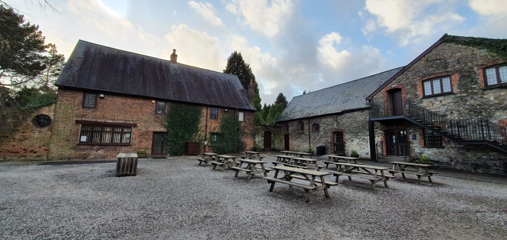
Over the course of spring Archaeovision has completed a laser scanning project of the interiors and exteriors of several buildings in the Tredegar House (Tˆy Tredegar) complex, commissioned by the National Trust. The buildings recorded for the project include the Tredegar Stables, Orangery, Mill, Great Barn, Lesser Barn, and Doctor’s House.
Tredegar House has been described by architectural historian John Newman as “the grandest and most exuberant country house” in Monmouthshire, and one of the “outstanding houses of the Restoration period of the whole of Britain”. It is a Grade-1 listed 17th century country house mansion in Newport, Wales, formerly owned by the Tredegar Morgan family from the late 15th century through to 1951, when the building became used as a convent school, then council housing. Since 2011 Tredegar has been under the care of the National Trust. The house has been used as a filming location for a range of TV productions, from Antiques Roadshow, to Doctor Who, to Being Human.

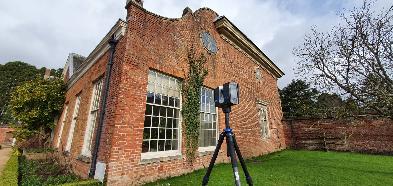
Laser Scanning across the estate proved challenging as our field visits coincided with extreme Storms Dennis and Jorge, bringing rain and considerable flooding to the site. However, thanks to the expertise of our team combined with FARO Focus S70 laser scanning technology, we were still able to collect the highest quality of scanning data despite the weather and water reflections, capturing points at 0.06mm intervals, producing models that included billions of points.

The scans, images, and floor plans produced by Archaeovision can now be used by the National Trust Tredegar team to identify and manage physical changes which are not visible to the human eye, nor shown by architectural plans. Such changes include subsidence, decay, and post-construction additions and adaptions from various eras of Tredegar’s 400-year history. This allows future planning and conservation projects to be based on Tredegar’s current and actual physical state, rather than relying on approximations based on historical records or eye-to-hand drawn plans.